
We left Port Levy Saddle carpark in the mist, on an autumn morning, after a one hour drive from Christchurch. There is a track west to Mt Herbert (the highest point on Banks Peninsula). However we turned east and walked to Mt Fitzgerald (826m) along the crater rim. The mist partially lifted as we walked, allowing some views down the valleys and out to the water.

Banks Peninsula (click to enlarge)
The start of our walk (Port Levy Saddle carpark) is marked with a star on the map. This track was originally surveyed as part of the Banks Peninsula Summit Road. The road was never constructed, but the legal access remains.
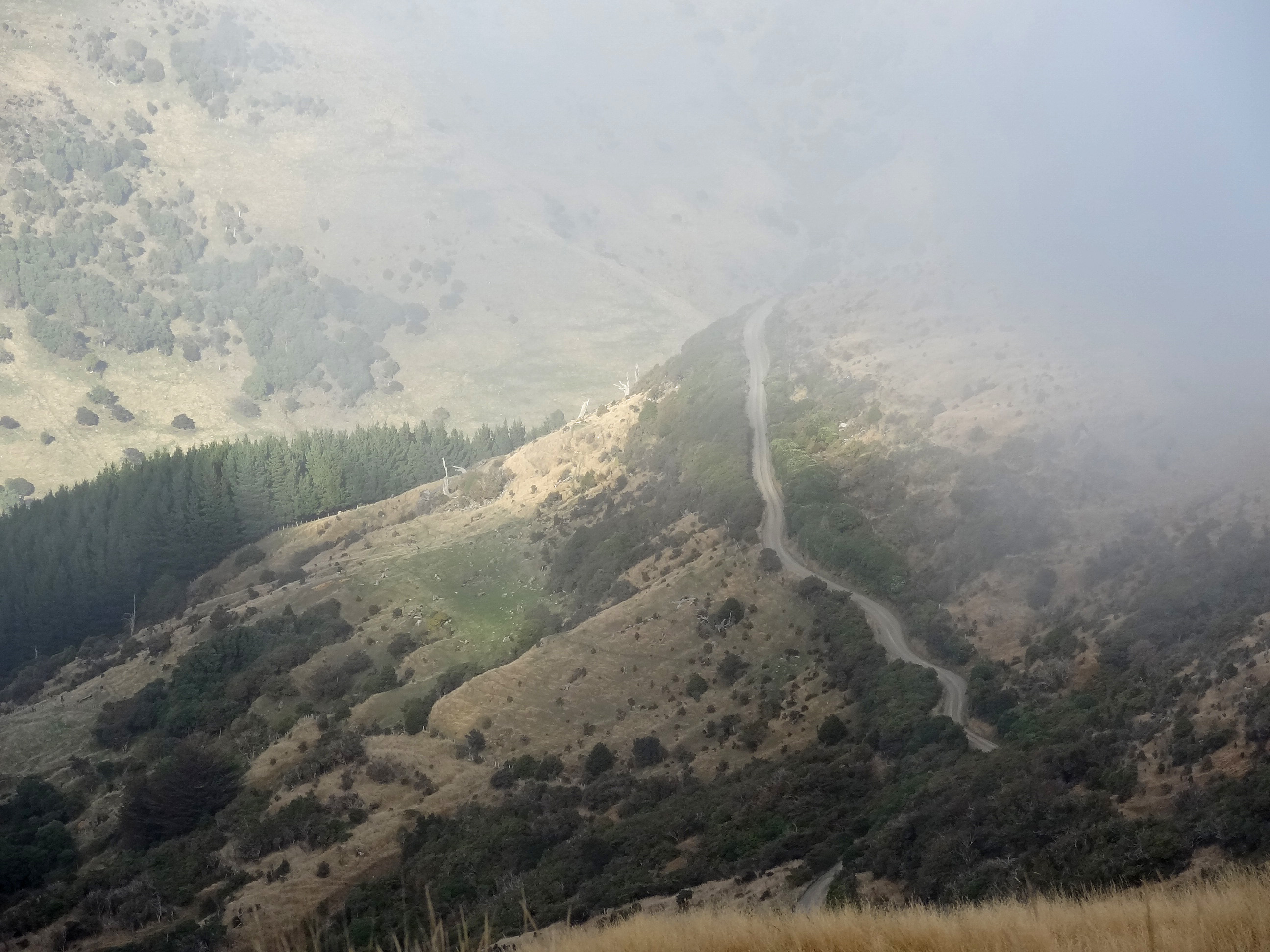
Road leading up to the Port Levy Saddle carpark

Township of Little River

Mountain totara tree bent by the prevailing southerly wind

The tree trunks are mountain totara of which there are only a few living remnants. The original forests of Banks Peninsula were logged in the 19th century by the early European settlers.

Forest ghosts

Port Levy


Looking north to Point Levy

Little River looking south

Looking across Port Levy and Pegasus Bay to North Canterbury and the Kaikoura Mountains
Click here for a pamphlet produced by the Department of Conservation on Banks Peninsula conservation walks.

Aagin, spectacular scenery. The wind looks ferocious, by the slant of those trees!
LikeLike
wow, so beautiful! 😉
LikeLike