Godley Heads Walkway

Taylors Mistake Beach

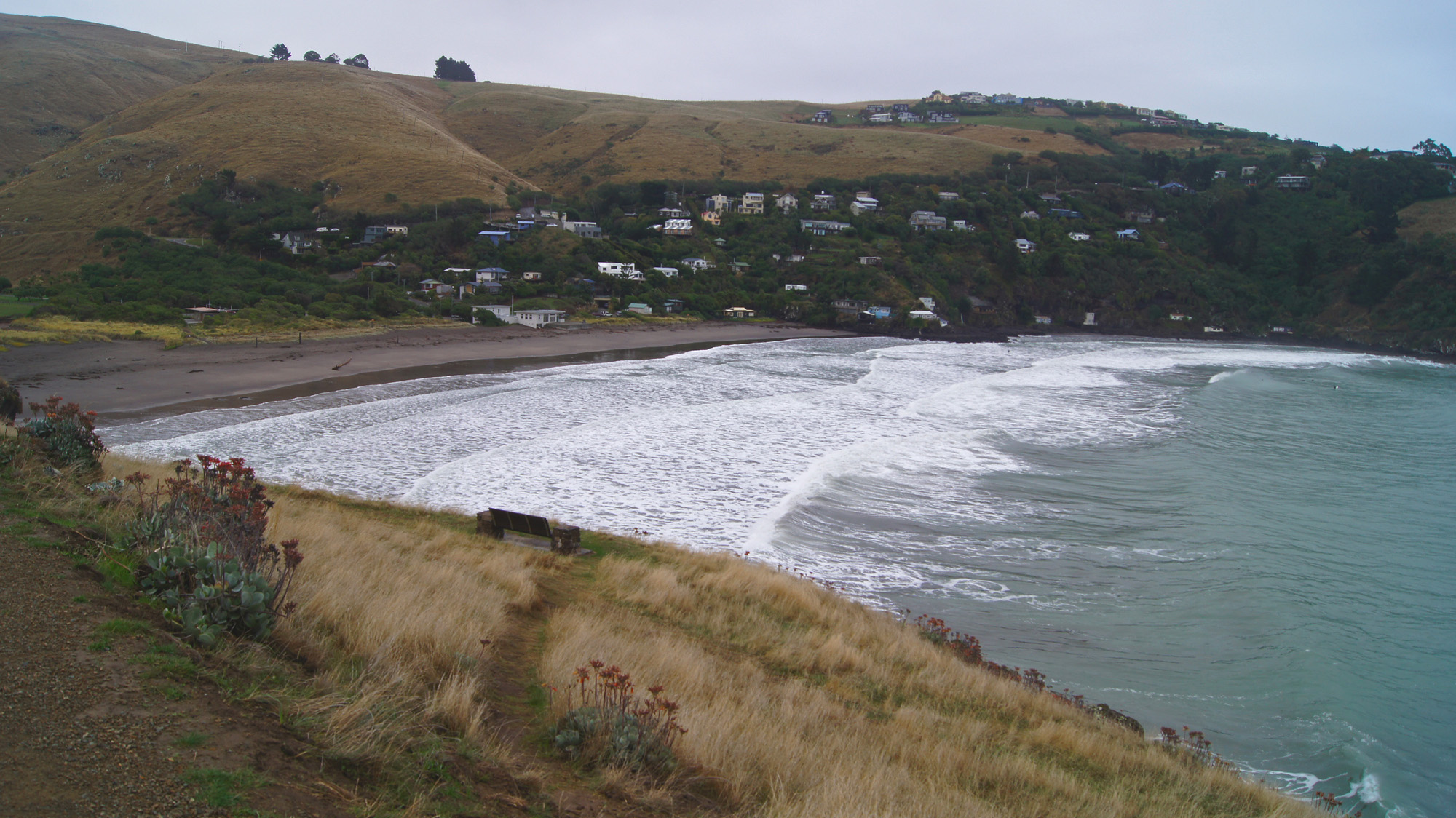
Start of the walk at Taylors Mistake Beach

The Taylors Mistake to Godley Heads walkway has recently reopened after an upgrade following earthquake damage.  From the centre of Christchurch city it is a thirty minute drive to the start of the walkway.

Godley Heads Walkway map

Godley Heads Walkway map

Christchurch people have been unable to use this scenic track for more than two years.  It is a coastal walk of about three hours return, passing World War Two military buildings.

Click once on any photo to enlarge.

Continue reading

Port Levy Saddle walk

DSC06001 f

We left Port Levy Saddle carpark in the mist, on an autumn morning, after a one hour drive from Christchurch.  There is a  track west to Mt Herbert (the highest point on Banks Peninsula).  However we turned east and walked to Mt Fitzgerald (826m) along the crater rim.  The mist partially lifted as we walked, allowing some views down the valleys and out to the water.


Banks Peninsula

Banks Peninsula (click to enlarge)

The start of our walk (Port Levy Saddle carpark) is marked with a star on the map.  This track was originally surveyed as part of the Banks Peninsula Summit Road. The road was never constructed, but the legal access remains.


Continue reading